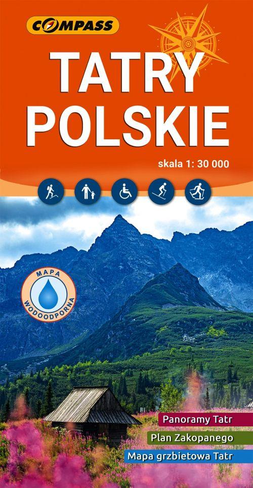
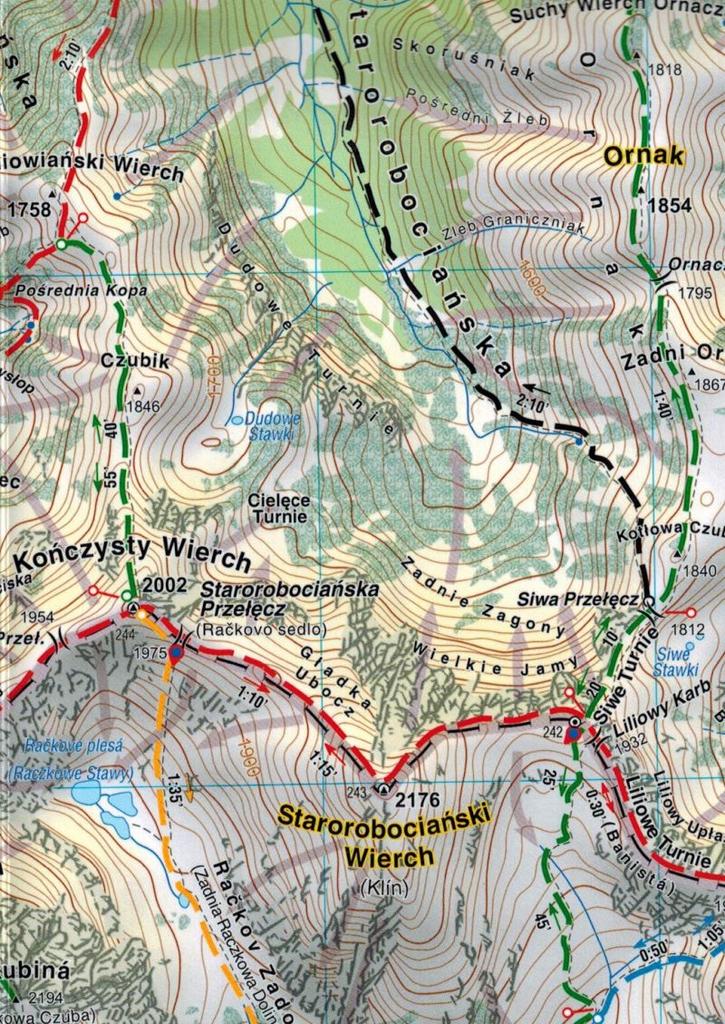
Foldable, laminated tourist map of the Polish Tatra Mountains on a scale of 1:30,000 Compass publications.
The publication covers the Western Tatras and part of the High Tatras. The map's range is determined by: Wołowiec (2064 m a.s.l.) to the west, Bukowina Tatrzańska to the north, Jurgów to the east, and Rysy (2499 m a.s.l.) in the south.
On the map, n.in. is marked:- road network with numbering,- railway lines with stations,- entry bans, parking lots, petrol stations, bus stops,- PTTK hiking trails, sections with one-way pedestrian traffic,- walking times and lengths of hiking trails,- sections of trails closed in winter,- cycling trails, single tracks, ski lifts,- educational and walking trails, family routes,- proposed routes for people using wheelchairs,- religious sites, museums, regional chambers,- accommodation, restaurants, bars,- toilets, horse-drawn carriage stands, cultural sheep grazing,- rest areas, viewpoints,- rocks, cliffs, caves, waterfalls, springs,- avalanche run-out zones, chains,- protected areas.
On the reverse is placed:- plan of Zakopane on a scale of 1:18 500, - guide to shelters in the Polish Tatra Mountains, - map of the Tatra ridge, - 7 Tatra panoramas.
Shading was used on the map to create the impression of the plasticity of the terrain's relief. The map content was consulted with employees of TPN and MSiT Zakopane.




 No-delivery refund